In Queensland, Australia, a Boundary Identification Survey (BIS) is a survey conducted by a registered cadastral surveyor to identify and mark the boundaries of a property. The purpose of this survey is to precisely locate and define the legal boundaries of a land parcel, ensuring accuracy and clarity in property boundaries for legal and administrative purposes.
The surveyor conducts research into historical records, land titles, deeds, and other documents related to the property to gather information about its boundaries and any relevant easements or encumbrances.
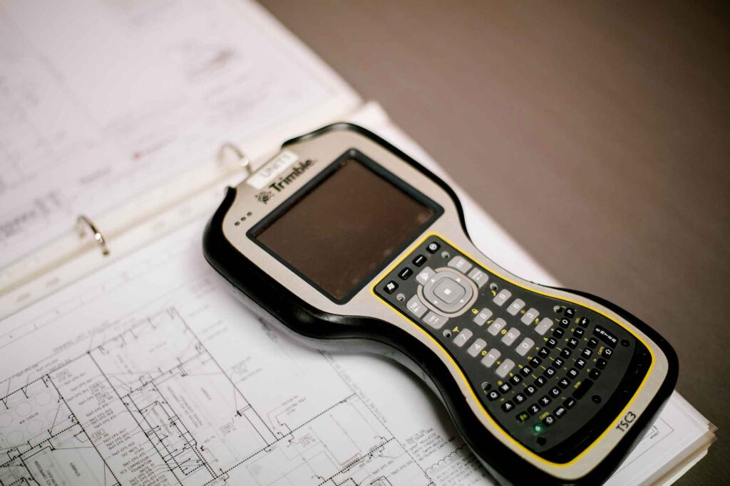
Surveyors use specialized equipment such as GPS receivers, total stations, and other surveying tools to physically measure and mark the boundaries of the property on the ground. This involves identifying boundary markers, setting new markers if necessary, and accurately measuring distances and angles.
After completing the fieldwork, the surveyor prepares a plan or a cadastral map that documents the boundaries of the property based on their measurements and observations. This plan typically includes detailed information about the property boundaries, dimensions, and any relevant annotation
The surveyor submits the completed plan or survey report to the relevant authorities, such as the Queensland Department of Resources, for approval and registration.
Boundary Identification Surveys are crucial for property transactions, development projects, resolving boundary disputes, and ensuring compliance with local regulations. It provides clarity and legal certainty regarding property boundaries, helping property owners and authorities avoid potential conflicts or uncertainties in the future.
If you require a Boundary Identification Survey in Queensland, it’s essential to engage a licensed cadastral surveyor with expertise in land surveying to carry out the survey work in compliance with the state’s regulations and standards.